A Himalayan kingdom the size of Switzerland with 780,000 people, no colonial history, more forest than it had fifty years ago, and a constitution that measures the state by happiness. Here is the honest version.
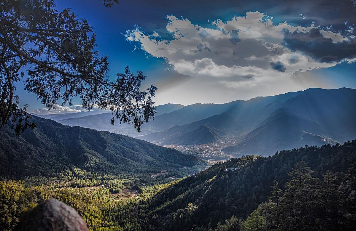
Bhutan runs east to west along the southern edge of the eastern Himalaya, wedged between the Tibetan plateau and the Indian plain. It is small — 38,394 square kilometres — but almost none of it is flat. In the space of about a hundred and seventy kilometres north to south the land climbs from subtropical jungle at 150 metres on the Indian border to unclimbed 7,000-metre peaks on the Tibetan one.
That vertical range is why the country feels bigger than the map says. Drive four hours and you pass from rice paddy and banana through blue pine and rhododendron to juniper, yak pasture and snow. Every one of those bands has its own villages, its own crops and its own dialect.
The practical consequence is roads. Bhutan’s highways follow ridgelines and river gorges because there is no other option, which means average speeds around 30–35 km/h. When we say a drive is four hours, it is four hours — and it is why we plan itineraries around driving time rather than distance.
It is not a mood survey. It is a policy screen, and it has teeth.
Growth is measured against what it costs. This is why the hydropower is run-of-river rather than large-dam, and why tourism is capped by price rather than by permit lottery.
Driglam namzha — the code of dress and conduct — is taught in schools, and national dress is worn in government offices and dzongs. It is a living convention, not a costume for visitors.
The constitution requires 60% forest cover in perpetuity. The country currently runs above 70% and absorbs roughly three times the carbon it emits — the only nation on earth that does.
Bhutan became a constitutional monarchy in 2008 because the king insisted on it, against considerable public reluctance. Elections have run every five years since.
Gross National Happiness is more important than Gross National Product — a sentence first said in the 1970s, and the reason the country looks the way it does today.
The fourth King, Jigme Singye Wangchuck
Buddhism arrived in the seventh century, when the Tibetan king Songtsen Gampo is said to have built Kyichu in Paro and Jambay in Bumthang as two of a hundred and eight temples raised in a single day. Guru Rinpoche followed in the eighth century and is the figure most Bhutanese temples are built around.
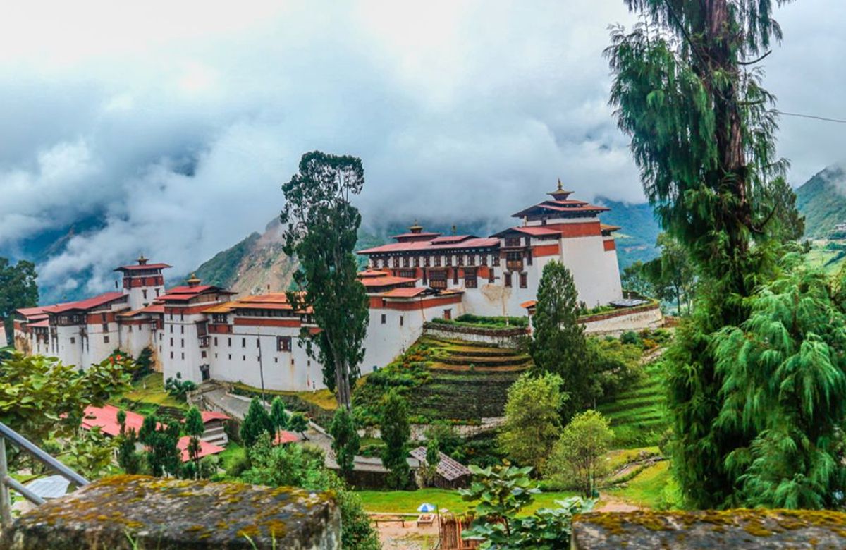
The country as a political entity dates from the 1600s, when Ngawang Namgyal — the Zhabdrung — arrived from Tibet, unified the warring valleys and built the dzong system: fortress monasteries that were simultaneously garrison, monastery and district administration. They still are. Every dzong you visit is a working government office.
In 1907 the governor of Trongsa was elected first hereditary king. In 2008 the fourth king abdicated in favour of his son and handed power to an elected parliament, having spent years persuading a reluctant population that they should want it.
Dzongkha is the national language and English is the medium of instruction in every school, so most Bhutanese under fifty speak it well. Sharchop is spoken in the east, Nepali-derived Lhotshamkha in the south, and there are around nineteen other living languages.
Men wear the gho, a knee-length robe belted at the waist; women the kira, an ankle-length wrap. Both are required in dzongs, government offices and schools. A formal scarf — kabney for men, rachu for women — is added in dzongs, and its colour indicates rank.
Chilli is a vegetable here, not a seasoning. Ema datshi — chillies stewed in yak or cow cheese — is the national dish and it is genuinely hot. Red rice, buckwheat in Bumthang, momos, and suja: butter tea with salt, which takes some getting used to.
Around three-quarters of the country is Vajrayana Buddhist, principally the Drukpa Kagyu and Nyingma schools; most of the south is Hindu. The two coexist without much friction, and Hindu festivals are public holidays.
Snow leopard and takin in the north, tiger and elephant in the south, red panda in the temperate forest, and around 770 recorded bird species. The black-necked cranes that winter in Phobjikha are the ones most visitors come for.
Walk clockwise around chortens and prayer wheels. Remove shoes and hats entering a temple. No photography inside temple buildings. Do not point at altars or images. Ask before photographing people — almost everyone says yes.
The valleys, the festivals and the months — written the same way as this page.
Tell us how many nights you have and what you want out of them. We will send a written itinerary and a total cost within a day.