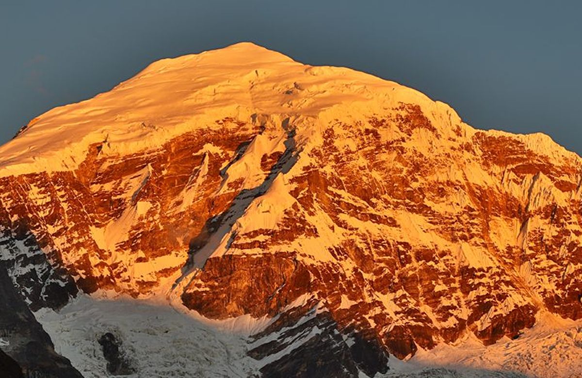
Seven walking days to a base camp beneath a sacred seven-thousander, returning over the Yeli La at 4,890 metres. The finest mountain scenery in the country, and the hardest walking we run.
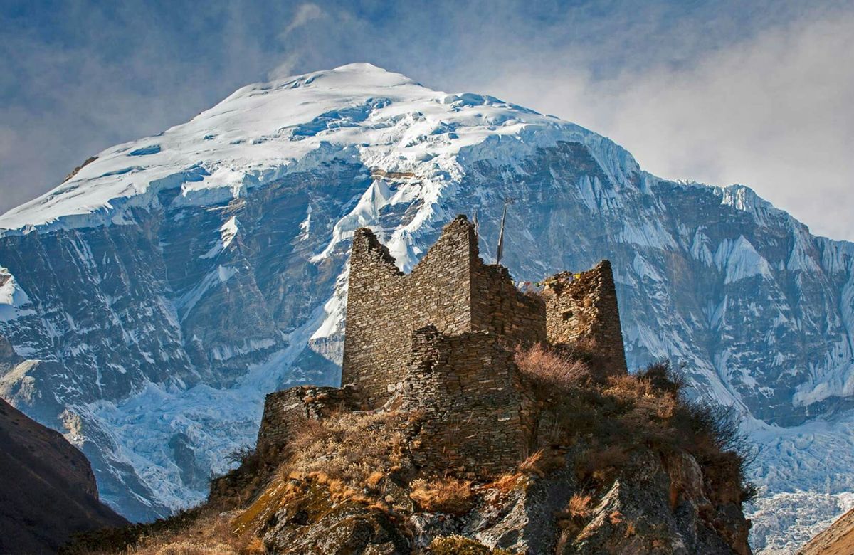
Jangothang, the base camp at 4,080 metres, is one of the great campsites of the Himalaya. The mountain stands almost three and a half vertical kilometres above the tents, with Jichu Drake beside it, and the ruins of a fortress on the knoll behind camp. We spend two nights there, and the rest day is not padding — it is what makes the second half of the trek safe.
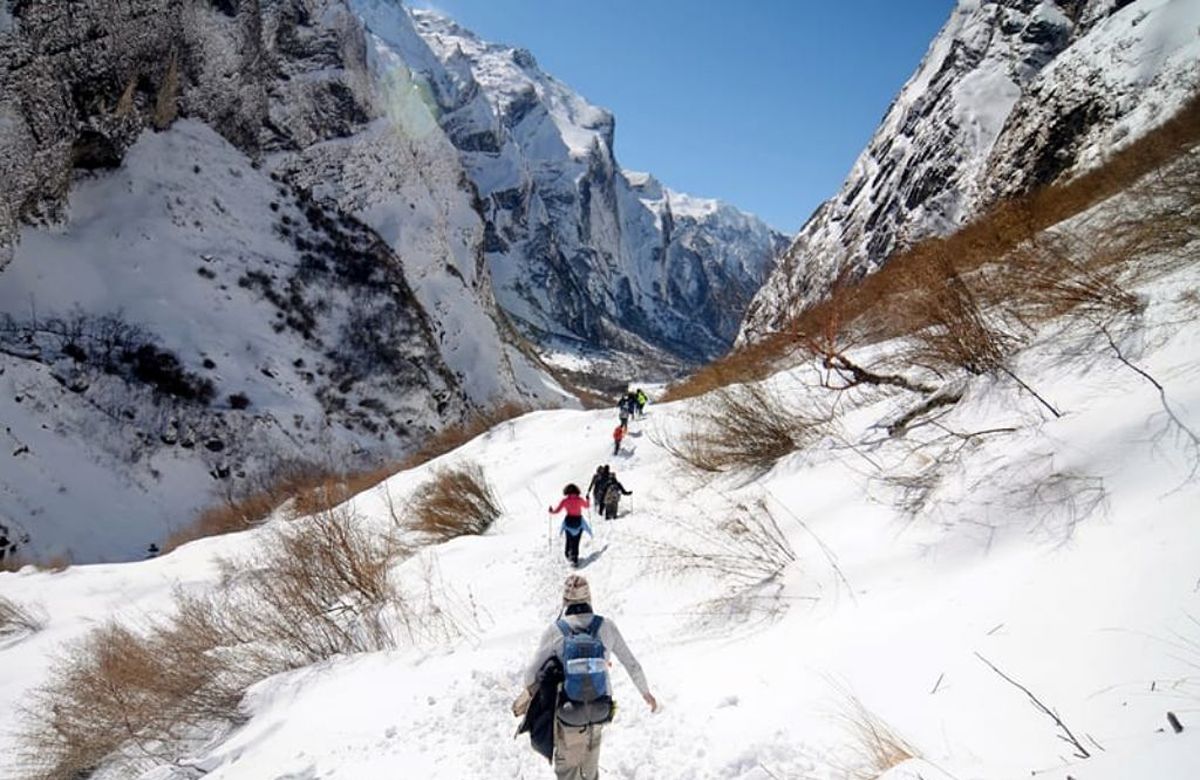
Beyond Jangothang the route crosses the Nyile La at 4,870 metres to Lingshi, a settlement of yak herders below a small dzong, and then the Yeli La at 4,890 metres before descending the Thimphu Chhu. These are long days at real altitude, on ground where blue sheep are common and snow leopard tracks are not unheard of.
This is a demanding trek and we will not pretend otherwise. You need several days a week of hill walking behind you, insurance that covers helicopter evacuation, and a tolerance for cold nights. In exchange you get eight days in country almost nobody sees.
This journey is quoted for your dates, your party size, your accommodation preference and anything you want changed. Government fees are shown as separate lines.
Written itinerary and full quotation usually within 24 hours. Nothing to pay to ask.
Written the way we would actually run it — with the drives, the walking hours and the altitude you sleep at, so you can judge the days for yourself. Anything here can be changed before you travel, and most of it can be changed on the morning.
Met at the airport, into the valley, and a quiet afternoon at Kyichu Lhakhang. Equipment check and briefing with your trek guide.
The Tiger’s Nest, which doubles as the best possible acclimatisation day: nine hundred metres of ascent to 3,120 m and back down to sleep low.
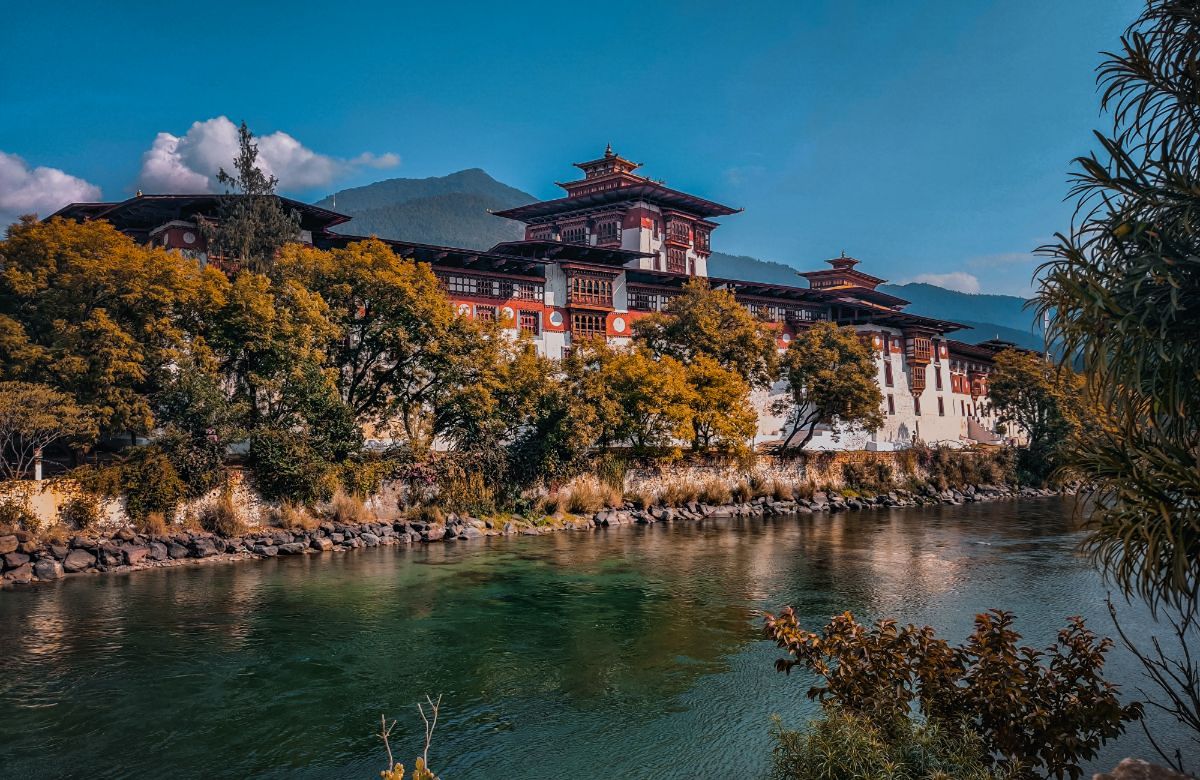
Drive to the ruins of Drukgyel Dzong, with Jomolhari filling the head of the valley behind it, and start walking. A gentle first day up the Paro Chhu through farmland and blue pine.
A long day following the river north, crossing it repeatedly, climbing steadily through forest that thins as you go. If the cloud lifts in the evening, the first sight of Jomolhari comes from camp.
Above the tree line by mid-morning. Past an army post, a scattering of yak-herder camps and the village of Soe, and up to the base-camp meadow. The mountain is directly in front of the tents.
A day at base camp. Options: up towards Tsophu, the twin lakes below Jichu Drake, for blue sheep; or the shorter climb to the ridge behind camp for the view down the whole valley. Both are optional; sitting still is a legitimate choice at 4,080 metres.
The first big pass. A long climb to 4,870 metres with Jomolhari, Jichu Drake and Tsherim Gang laid out behind you, then a traverse and descent to the Lingshi basin, with its dzong on a hill above the camp.
South now, climbing to the Yeli La and its cairns and prayer flags, with Jomolhari, Tsherim Gang and Gangchhenta visible from the top on a clear morning. A long descent to camp in the forest beside the Thimphu Chhu.
Down the river gorge past waterfalls and limestone cliffs to the ruins of Barshong Dzong, then a final descent to the road head at Dolam Kencho and the drive into Thimphu. Hot shower, and dinner that somebody else cooked indoors.
A slow recovery day in the capital — Tashichho Dzong, the craft school, the Memorial Chorten — then the drive back to Paro.
Transfer to the airport for the morning flight.
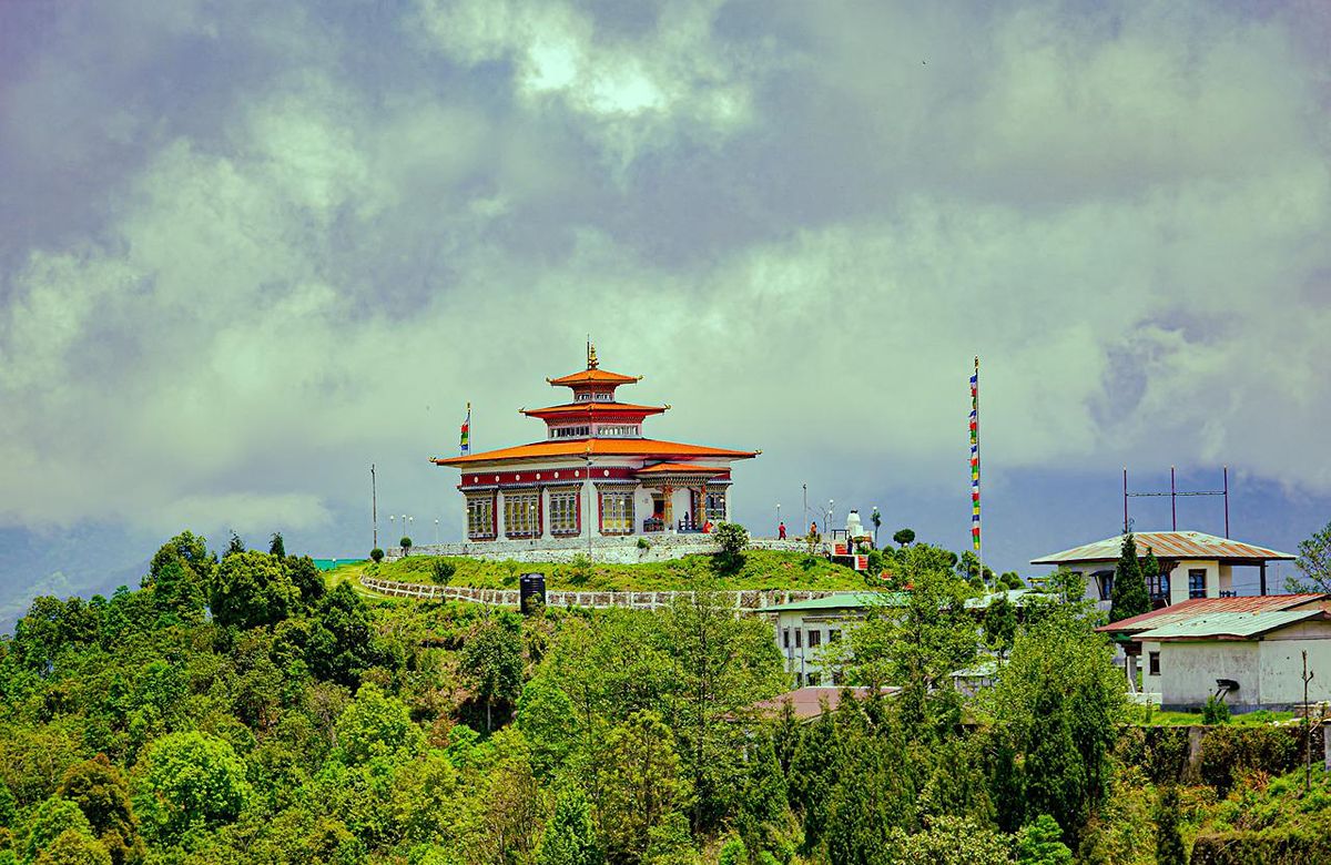
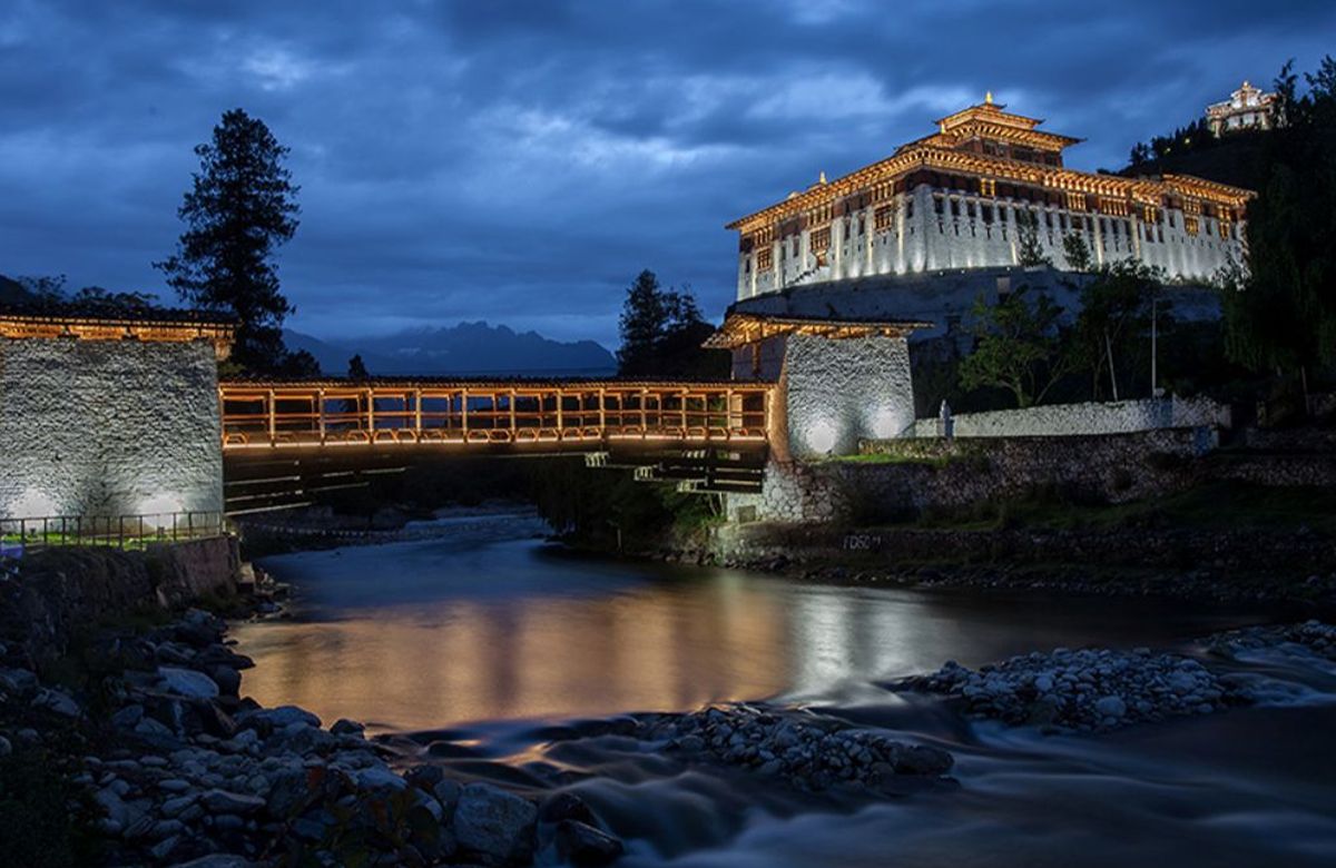
Photographs from the valleys this itinerary passes through. Ask us for more — we have a great many, and we would rather send you real ones than stock.


If yours is not here, send it — we answer properly and we will tell you if the trip is wrong for you.
It helps a great deal but is not compulsory. What is compulsory is genuine hill fitness — consecutive seven-hour days on rough ground at 4,000 metres are unforgiving of a summer of good intentions. If you have not been above 3,500 metres before, tell us and we will talk it through honestly.
Your guide carries a pulse oximeter and a first-aid kit, and monitors everyone daily. Mild symptoms mean rest and no further ascent. Anything worse means descent, which is always possible on this route, on foot or by horse. Serious cases are helicopter evacuated — which is why the insurance requirement is not negotiable.
Yes. The Jomolhari Loop returns from Jangothang the way it came, over the Bonte La to Soi Yaksa, and takes eight days instead of eleven. Ask us and we will price it.
Read these before you enquire. Everything here is written so that nothing on the page above reads as a promise we cannot keep.
Distances, walking hours and pass altitudes shown are planning figures and vary with conditions, group pace and camp availability. Snow can close a high pass outside the main seasons and the route may be shortened or reversed on safety grounds. Travel insurance covering the maximum altitude on this itinerary and emergency evacuation is required for participation — this is our own booking condition, not a government visa requirement.
You sleep between the altitudes shown at the top of this page. Take the first day slowly, drink more than feels necessary, and tell your guide immediately about headache, nausea or unusual breathlessness.
Hotels are named in your final itinerary and quotation rather than on this page. Properties are certified by the Department of Tourism and are confirmed once your dates are held; if a substitution becomes necessary we will tell you before you travel and will not move you to a lower grade without asking.
International flight routes, frequencies and schedules vary by season and change at short notice. Current connections will be confirmed during trip planning. Leave a night either side of your Paro flights rather than booking a same-day onward connection.
The visa application fee is US$40 per person, one-time and non-refundable, and the Sustainable Development Fee applicable to your dates will be identified as a separate line in your quotation. Comprehensive travel insurance, particularly medical and emergency evacuation cover, is strongly recommended; it is not a government visa requirement.
Roads, weather, monastic calendars and local events can all move a day around. Your guide will discuss any change with you at the time, and the shape of the trip is yours to adjust before you travel and, for most days, on the morning.
Every journey is individually quoted. Tell us your travel dates, the number of travellers, your accommodation preference and anything you would like changed about the Jomolhari Trek itinerary, and we will prepare a detailed quotation for your trip.
Fields marked * are required. Prefer to write directly? evergreentcpf@gmail.com · +975 77439181
Your details are used to answer this enquiry and nothing else — no mailing list and no resale.