Nine places, west to east, with the altitude, the drive and the reason to go. Written so you can judge for yourself whether a valley is worth the hours it takes to reach.
Bhutan has one main highway and it runs west to east along the ridgelines. The list below follows it. The first four are reachable in a week; Bumthang and Trongsa need ten days or a domestic flight; the east needs a fortnight and a real appetite for driving.
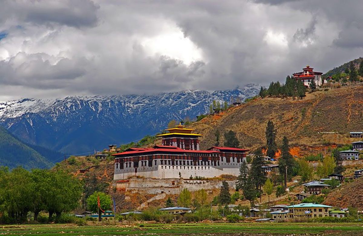
The valley everyone arrives in, and the only one with a runway. Wide, flat and farmed, with Rinpung Dzong on the hillside, the seventh-century Kyichu Lhakhang at the northern end, and Taktsang — the Tiger’s Nest — nine hundred metres above the floor on a cliff face. Allow a full day for the climb and do not let anyone sell you a half one.
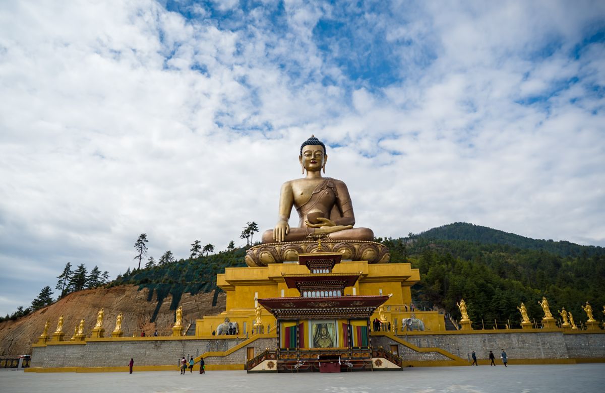
The capital, and the only one in the world without a traffic light — a white-gloved policeman directs the main junction instead. It is a working town of civil servants, monks, weavers and coffee shops rather than a showpiece: a 51-metre gilded Buddha above it, the seat of government in the dzong below, and a weekend market by the river worth timing your week around.
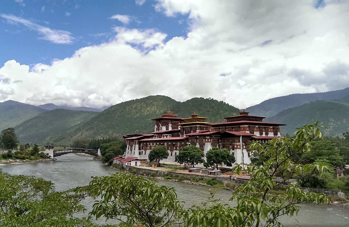
The old winter capital, two thousand metres lower than Thimphu and warm all year. Punakha Dzong stands on the spit of land where the Pho Chhu and Mo Chhu meet, and it is the most beautiful building in the country by a wide margin — jacaranda in the courtyard in spring, a hundred-pillar assembly hall, and a wooden staircase that was raised every night for four centuries.
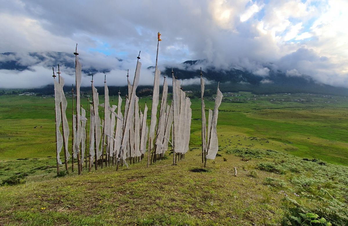
A wide, treeless glacial bowl in the Black Mountains, and the wintering ground of around five hundred black-necked cranes between late October and February. The valley put its electricity cables underground rather than risk the flight paths. Gangtey Goenpa sits on a spur above it, and the nature trail down to the marsh is the most pleasant easy walk in Bhutan.
A narrow barley-and-buckwheat valley south-west of Paro, closed to outsiders until 2002 and still visited by very few. You reach it over the Chele La at 3,988 metres — the highest road pass in the country, in rhododendron forest that flowers for about a fortnight each spring. Two temples, the White and the Black, sit at the head of the valley.
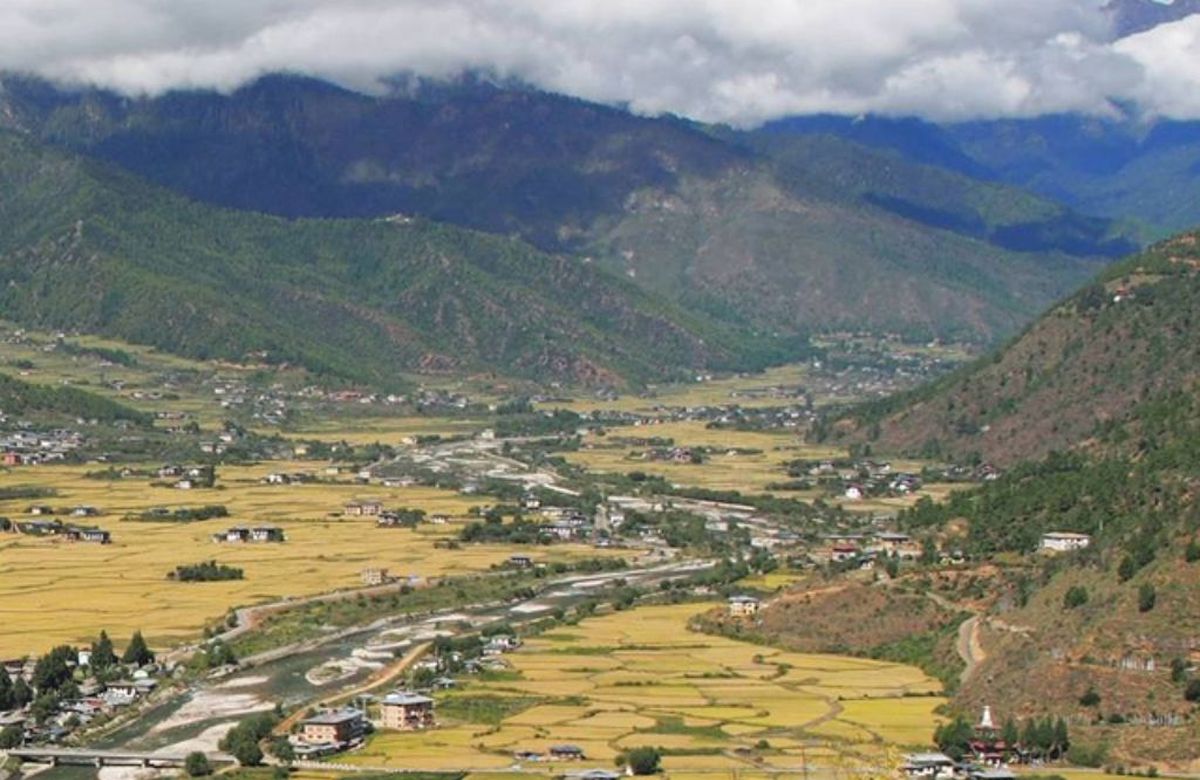
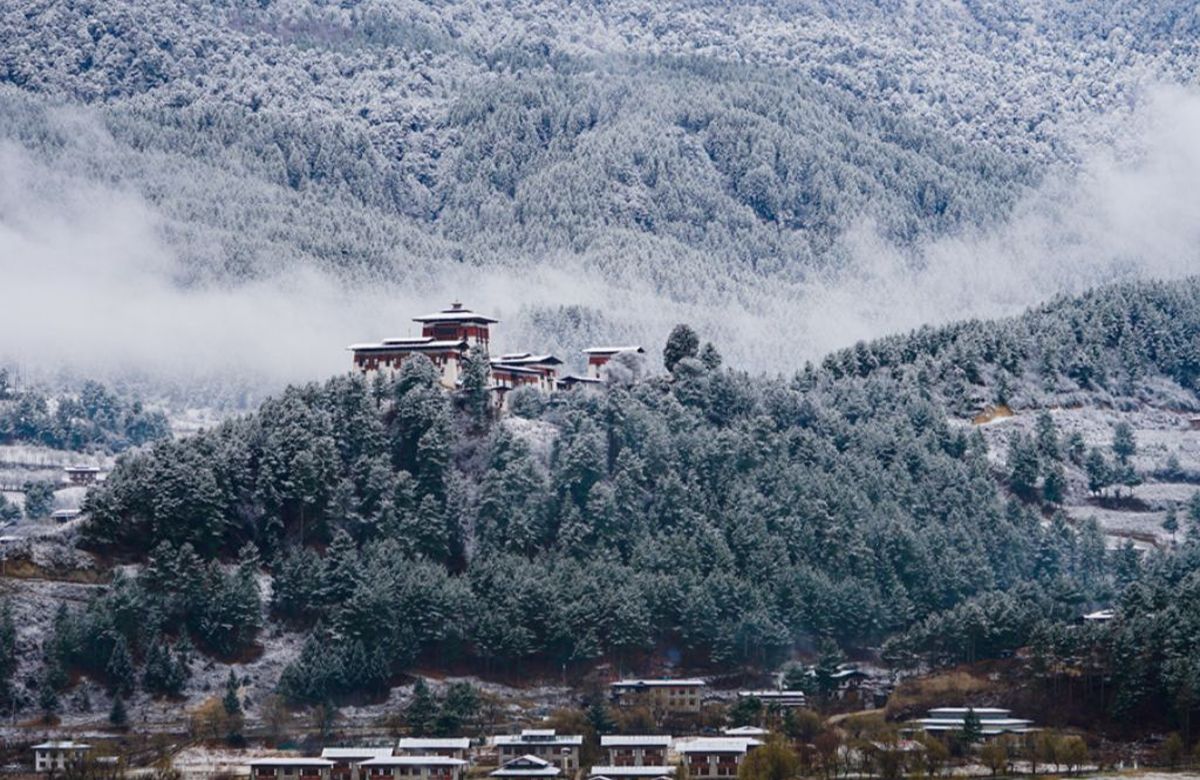
Four valleys that together form the religious heart of Bhutan, and where Buddhism entered the country. Jambay Lhakhang dates from the seventh century; Kurjey holds the rock where Guru Rinpoche is said to have left a body-print; Tamshing was founded by Pema Lingpa, the treasure-revealer whose descendants include the royal family. Also buckwheat, cheese and the only brewery.
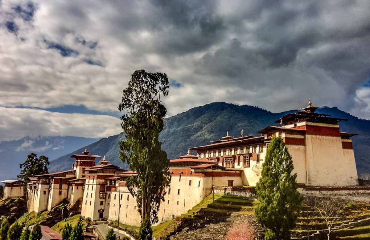
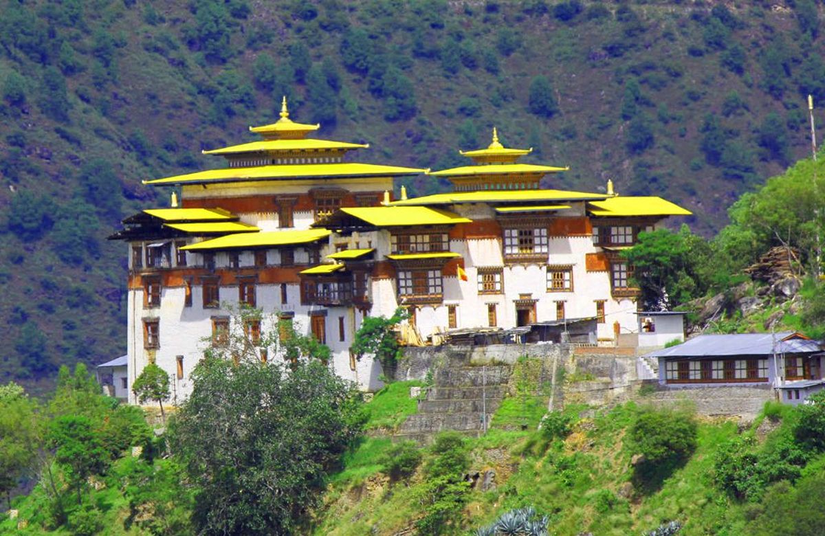
The largest dzong in Bhutan, strung out along a ridge above the Mangde Chhu gorge in a position that once let it control every east–west movement in the country. It is the ancestral seat of the royal family — the crown prince is still made Trongsa Penlop before accession — and the watchtower above it is now the royal heritage museum.
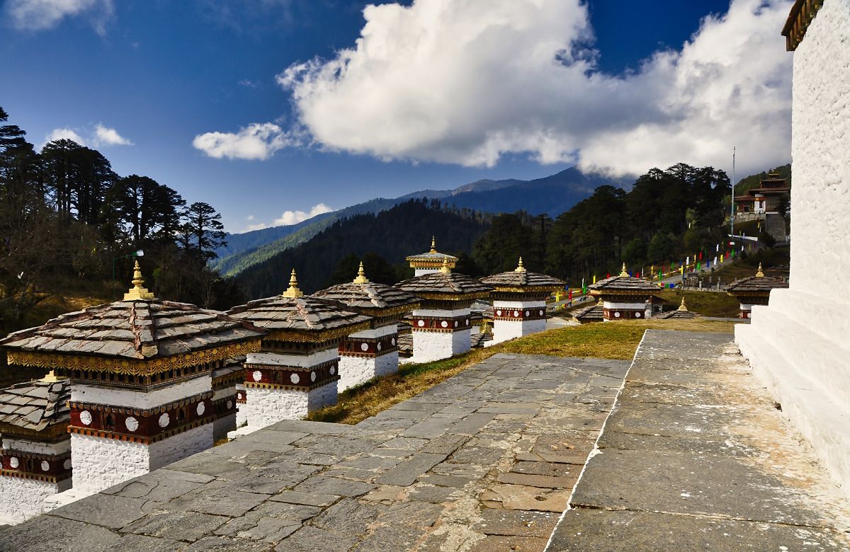
The pass between Thimphu and Punakha, and the easiest place in Bhutan to see the high Himalaya without walking. A hundred and eight chortens stand on a knoll beside the road, built in 2004, and on a clear winter morning the eastern range lines the whole northern horizon — including Gangkhar Puensum, the highest unclimbed mountain in the world.
Two long driving days east of Bumthang, across the Thrumshingla at 3,780 metres, and almost nobody goes. Mongar, Trashigang and Lhuentse are Sharchop-speaking, hotter, steeper and considerably less used to visitors. Lhuentse is the home of kushuthara weaving; Trashiyangtse has Chorten Kora and the black-necked cranes’ second wintering site at Bomdeling.
Send us the number of nights you have. We will tell you honestly what fits and what does not — including when the answer is ‘fewer places, longer stays’.